Landscape · All eras
White Head
The 150-ft cliff at the island's eastern point
[C]Confirmed43.64582° N, 70.19136° WSurveyed position
In layers06 · The Island Today
Position — A named cape on survey and on every chart. The one feature present in every period.
Historical significance
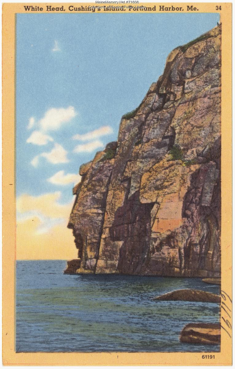
The pale granite headland that gives White Head Passage its name — a 150-foot cliff described by early travellers, painted by Harrison Bird Brown for Sargent's 1886 sketch, and printed on Casco Bay linen postcards through the mid-20th century. The island's most photographed natural feature.
On the ground
- Vertical joint fractures give the cliff its stacked, blocky face.
- A weathered profile in the south wall is often read as a human face.
- Deep water at the base — the Passage carried commercial shipping.
Engineering / Landscape reading
Read this cliff as a navigation aid, not a viewpoint. For four centuries mariners used its white face to fix their position when entering Casco Bay from the eastward.
Open research questions
- 1.How did the appearance of this cliff change what mariners called the Passage?
- 2.Which paintings and postcards in the archive show the same face you see today?
From the archive
People associated with this place
Where to walk next
Fort Levett — Battery Foote
430 m · ~6 minEndicott-era coastal artillery
Spring Cove Shoreline Terraces
560 m · ~7 minIndigenous cultural landscape
Distances are straight-line from recorded coordinates. Island roads curve, so allow more time than the estimate.
How we know
Continue the trail
- 01Stand at Fort Levett — Battery FootePlace · Fort Levett — Battery Foote — Military · 1898–1945
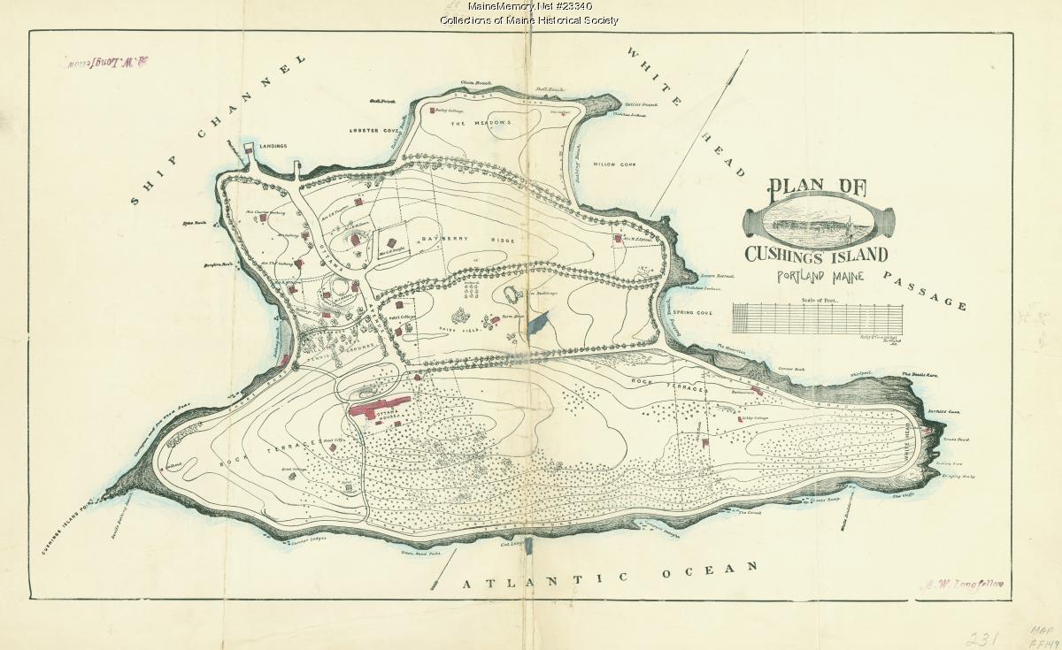
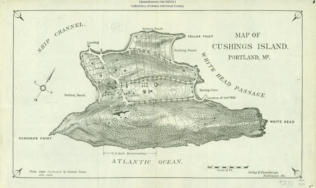
- 02Look at the evidence: Plan of Cushing IslandSource · Plan of Cushing Island — ca. 1888 · Maine Memory Network / Maine Historical Society
- 03Who was Harrison Bird Brown?Person · Harrison Bird Brown — Painter of White Head and the Cliff, engraved for Sargent (1886)
- 04Read the whole layer: The Island TodayLayer · The Island Today — Layer 06 · 1947 → now
- 05Stand at Spring Cove Shoreline TerracesPlace · Spring Cove Shoreline Terraces — Pre-contact · 10,000+ ya