Pre-contact · 10,000+ ya
Spring Cove Shoreline Terraces
Indigenous cultural landscape
[HC]High-Confidence Inference43.64500° N, 70.19820° WApproximate
In layers01 · Before Cushing Island
Position — A landscape reading, not a site record. The pin marks a terrace type, not a located camp.
Historical significance
Raised terraces above the shoreline, sheltered coves, and shell deposits along Casco Bay indicate long, repeated Wabanaki use of these landscapes across millennia.
On the ground
- South-facing terraces above high-tide with dry, level ground.
- Freshwater proximity within short carry.
- Broken shell visible in eroding scarps (do not disturb).
Open research questions
- 1.Why would communities repeatedly return to this shoreline?
- 2.What does the landscape offer that a modern eye would miss?
From the archive
Where to walk next
Distances are straight-line from recorded coordinates. Island roads curve, so allow more time than the estimate.
How we know
Continue the trail
- 01Stand at Levett's Cellar & Spicer's CovePlace · Levett's Cellar & Spicer's Cove — Colonial · 1623
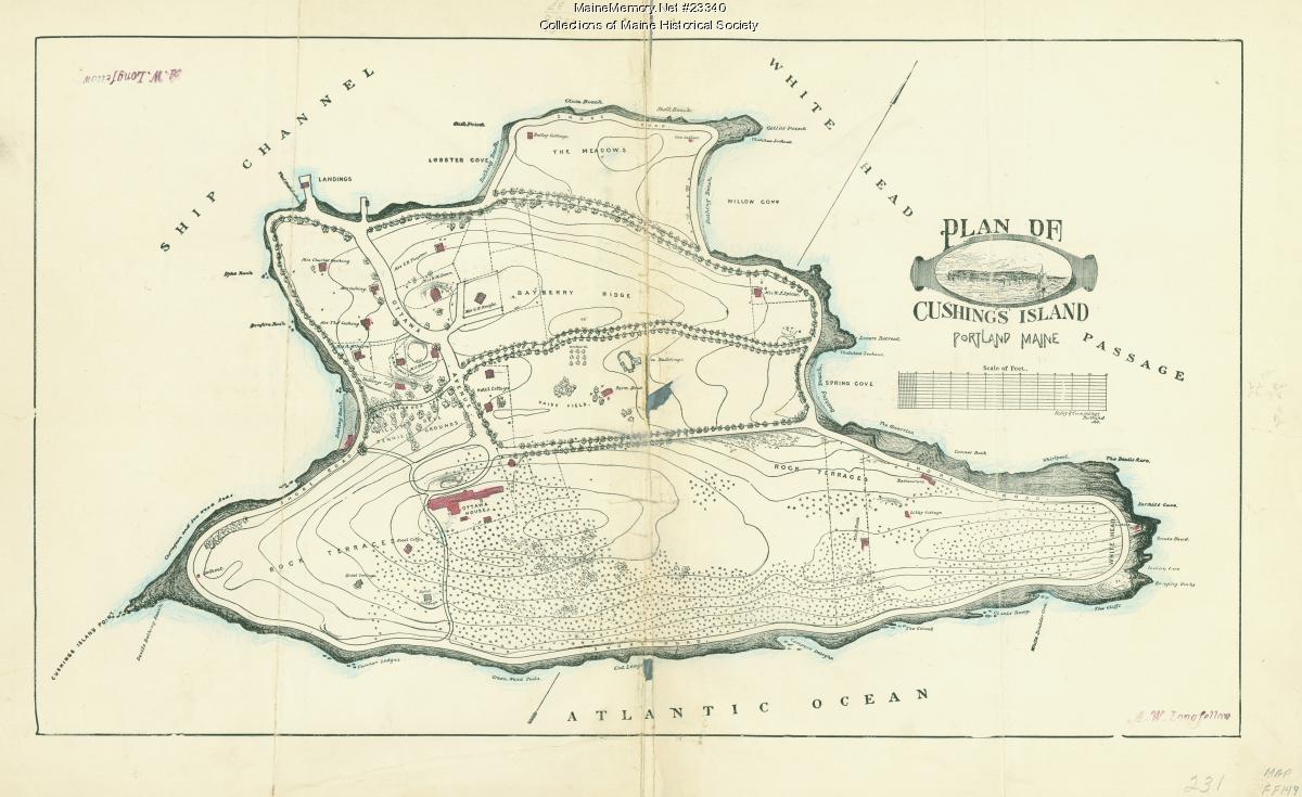
- 02Look at the evidence: Plan of Cushing IslandSource · Plan of Cushing Island — ca. 1888 · Maine Memory Network / Maine Historical Society
- 03Open the case file: Why did Levett choose Spicer's Cove?Case file · Why did Levett choose Spicer's Cove? — Case file I
- 04Read the whole layer: Before Cushing IslandLayer · Before Cushing Island — Layer 01 · 10,000+ years ago → contact
- 05Look at the evidence: Maine Historic Preservation Commission — prehistoric archaeology reportsSource · Maine Historic Preservation Commission — prehistoric archaeology reports — Maine Historic Preservation Commission