Military · 1898–1945
Fort Levett — Battery Foote
Endicott-era coastal artillery
[C]Confirmed43.64312° N, 70.19527° WSurveyed position
In layers04 · Fortress Cushing
Position — Standing concrete, matched to a named survey feature.
Historical significance
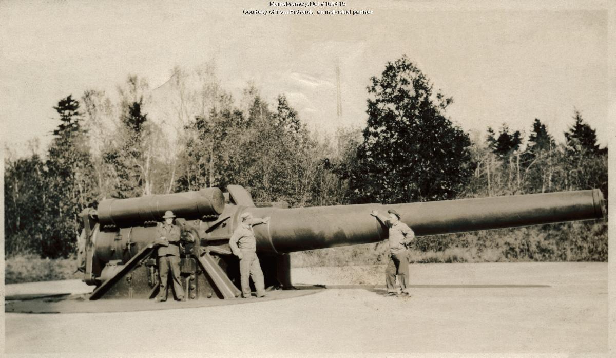
Fort Levett was constructed beginning in 1898 as part of the Endicott system defending Portland Harbor. Battery Foote and its neighbors mounted disappearing rifles, mortars, and later anti-aircraft guns through both World Wars.
On the ground
- Reinforced concrete emplacements with ventilation openings and sealed doors.
- Drainage channels cut into the ledge to keep magazines dry.
- Cable trenches trace ammunition routes between batteries.
Engineering / Landscape reading
Endicott batteries hid underground service spaces below the visible parapet. Accessible tunnels on Cushing today are unverified — treat closed doors as closed.
Open research questions
- 1.Where did the men actually sleep, eat, and stand watch?
- 2.Could unmapped magazines still exist under the parapet?
- 3.How do the drainage cuts reveal the engineer's intent?
From the archive
Where to walk next
Distances are straight-line from recorded coordinates. Island roads curve, so allow more time than the estimate.
How we know
What else stood here
- 1917–1919 — District Wireless Station
Continue the trail
- 01Stand at Ottawa House GroundsPlace · Ottawa House Grounds — Resort · 1858–1917
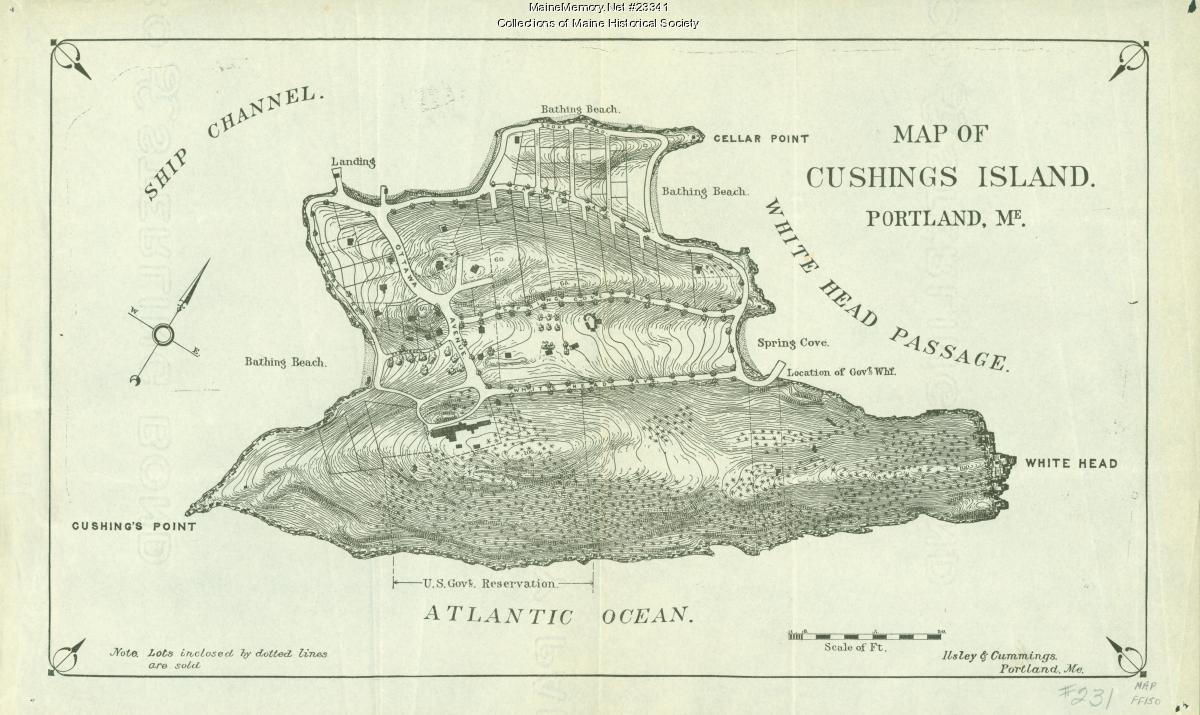
- 02Look at the evidence: Map of Cushing IslandSource · Map of Cushing Island — ca. 1888 · Maine Memory Network / Maine Historical Society
- 03Open the case file: Understanding Battery FooteCase file · Understanding Battery Foote — Case file III
- 04Read the whole layer: Fortress CushingLayer · Fortress Cushing — Layer 04 · 1898 → 1947
- 05Look at the evidence: Coastal gun and crew, Fort LevettSource · Coastal gun and crew, Fort Levett — Undated · Maine Memory Network / Maine Historical Society