Resort · 1858–1917
Ottawa House Grounds
Gilded-Age summer resort
[C]Confirmed43.63915° N, 70.20245° WApproximate
In layers03 · The Summer Island
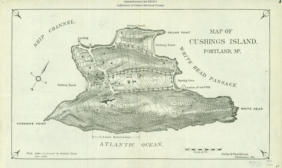
Position — The hotel is documented; this site's pin is not yet georeferenced against the 1888 map. Treat the position as approximate.
Historical significance
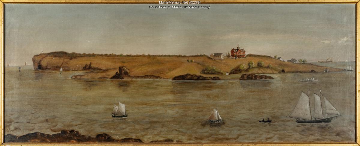
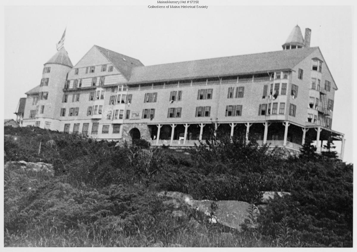
A large Victorian resort hotel that drew hundreds of summer guests to Cushing Island from the mid-19th century until it burned in 1917. Its grounds are the highest-probability zone for everyday personal artifacts.
On the ground
- Old paths radiate from the former hotel footprint toward overlooks and the beach.
- Shade-tree gathering areas retain flatter ground worn into the lawn.
- Carriage routes are still legible as gentle cuts through the terrain.
Open research questions
- 1.Which walk did guests use to reach the water?
- 2.Where were the porches, and therefore the drop-lines?
- 3.What does a lost hotel look like a hundred years later?
From the archive
People associated with this place
Where to walk next
Fort Levett — Battery Foote
730 m · ~9 minEndicott-era coastal artillery
Levett's Cellar & Spicer's Cove
810 m · ~10 minLevett's 1623 settlement site
Distances are straight-line from recorded coordinates. Island roads curve, so allow more time than the estimate.
How we know
Continue the trail
- 01Stand at Levett's Cellar & Spicer's CovePlace · Levett's Cellar & Spicer's Cove — Colonial · 1623
- 02Look at the evidence: Map of Cushing IslandSource · Map of Cushing Island — ca. 1888 · Maine Memory Network / Maine Historical Society
- 03Who was John Calvin Stevens?Person · John Calvin Stevens — Portland architect; designed the island's Shingle-style cottages
- 04Open the case file: The Ottawa HouseCase file · The Ottawa House — Case file IV
- 05Read the whole layer: The Summer IslandLayer · The Summer Island — Layer 03 · 1858 → 1917